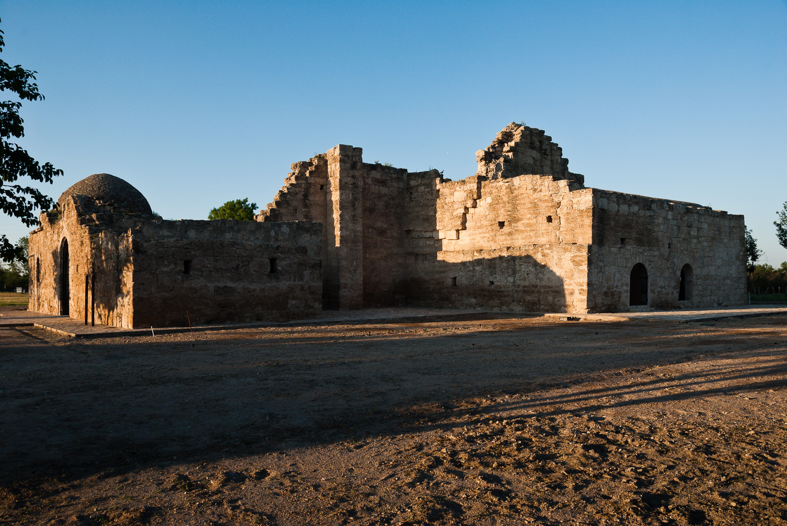
Explore a diverse array of histories contained within El Camino Real de los Tejas’ 150-year life, including the Spanish struggle to missionize American Indian nations, the growth of cattle ranching in the Mexican period, and the movement for Texan independence and statehood.
Free — you won’t need your pass here.
Free entry — there is no entrance fee here, so you won’t need your pass to get in.
- Fee type No fee — No fee is charged here.
- HoursEl Camino Real de los Tejas National Historic Trail is not a clearly marked hiking trail. Instead it is a route that passes through communities, urban areas, public lands, and Wilderness. The route travels across a varie
- Source National Park Service ↗
- Last verifiedJuly 6, 2026 · Confirmed
- Official pagewww.nps.gov ↗
- Contact N/A · ntir_information@nps.gov
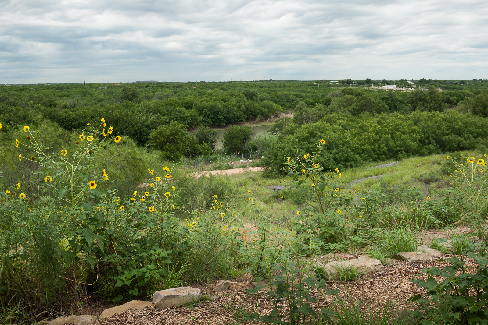
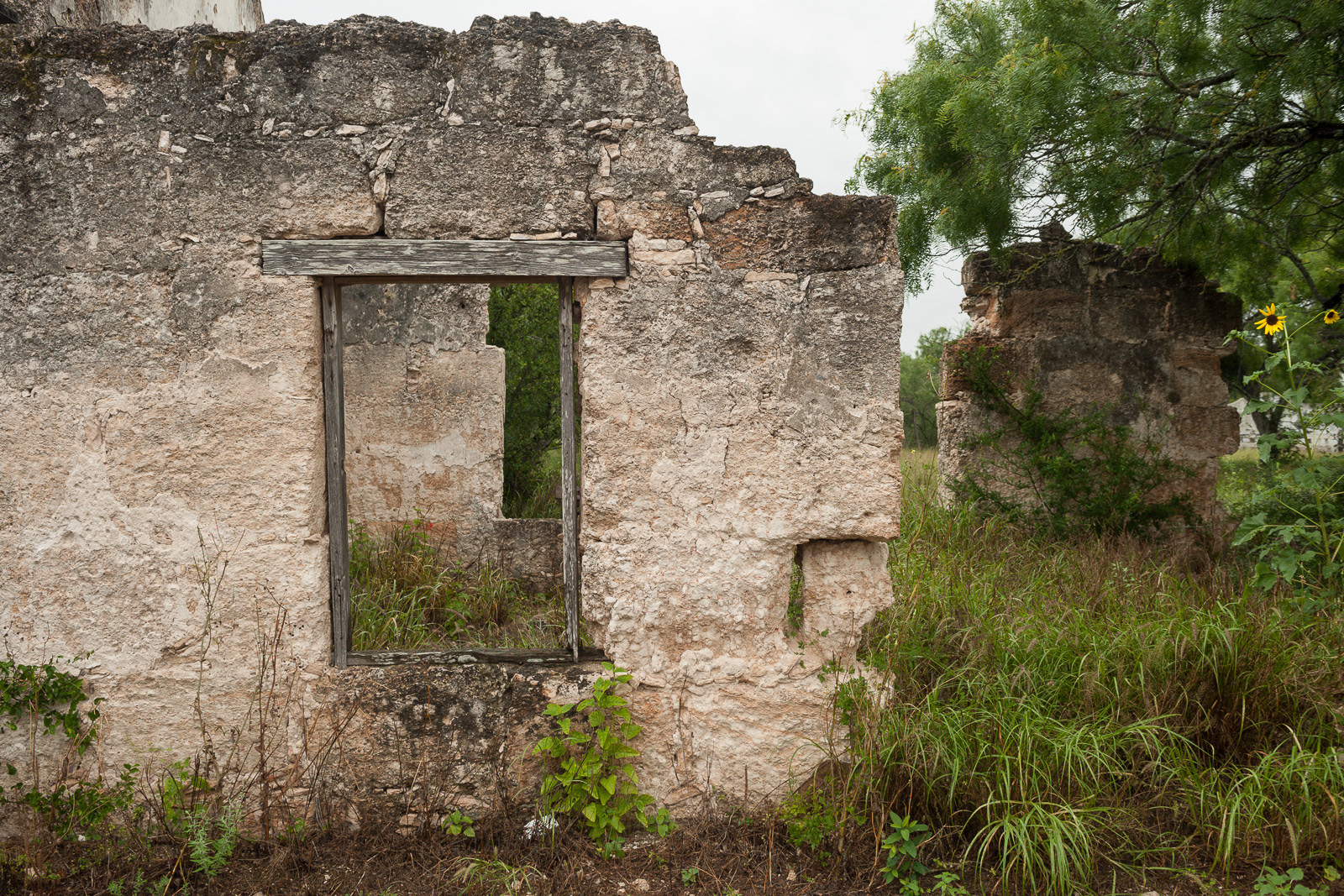
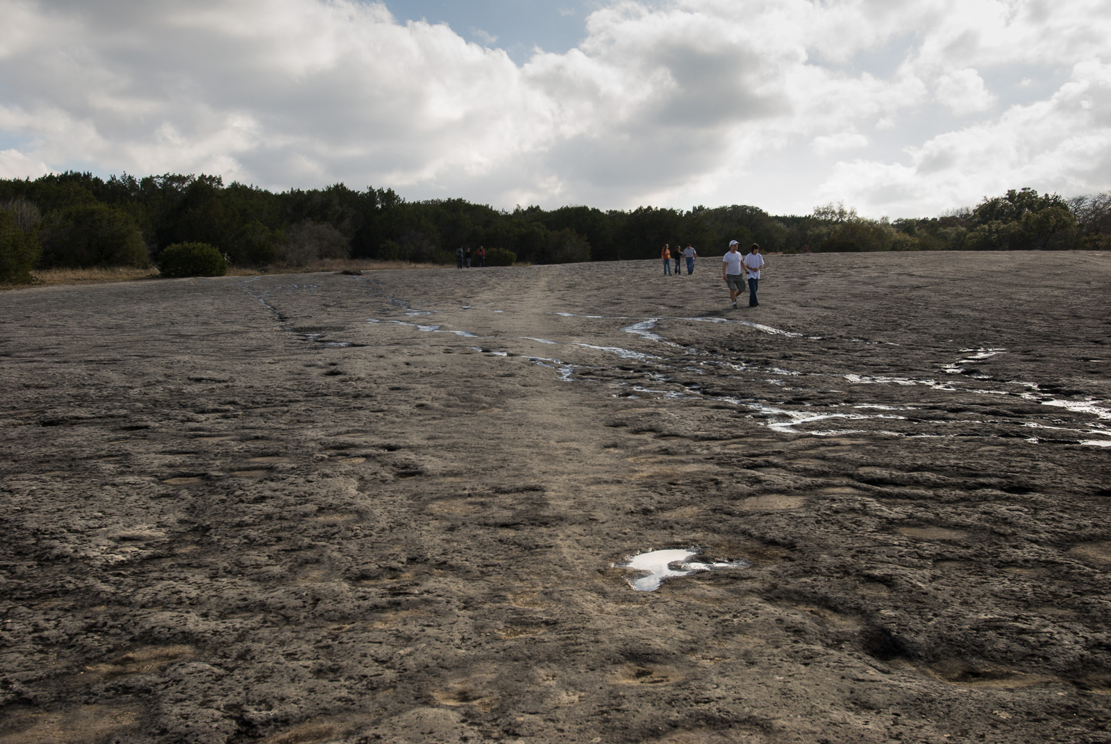
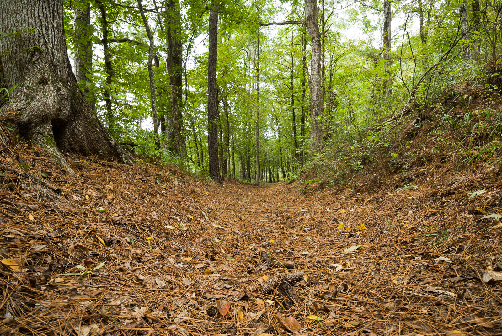
You can visit many sites of the El Camino Real de los Tejas National Historic Trail over the 2,580-mile historic route that crosses 2 states, and travels into Mexico, to Mexico City.
Common questions
Quick Yes / No / Depends answers for El Camino Real de los Tejas National Historic Trail — always confirm with the managing site before you go.
No Is there a fee at El Camino Real de los Tejas National Historic Trail?
No — it’s free to enter, so you won’t need your pass to get in.
Depends Can you ride OHVs or ATVs here?
Yes — off-highway vehicle use is among the activities here. Stay on designated routes and check any permit or registration rules.
Depends Can you bring a dog?
Usually only leashed and in developed areas, campgrounds, and paved paths — not on most trails or in buildings. Pet rules vary by park, so check first.
No Are drones allowed?
No — launching, landing, or operating drones is prohibited on National Park Service land.
Depends What are the hours?
El Camino Real de los Tejas National Historic Trail is not a clearly marked hiking trail. Instead it is a route that passes through communities, urban areas, public lands, and Wilderness. The route travels across a varie
Nearby sites
 Kharker at English Wikipedia / CC BY-SA 3.0 · Wikimedia Commons U.S. Army Corps of Engineers
 Granger Lake
CheckArmy Corps site — the pass gives 50% off day-use fees only and never covers camping. Confirm at the gate.
 Renelibrary / CC BY-SA 4.0 · Wikimedia Commons U.S. Army Corps of Engineers
 Georgetown Lake
CheckArmy Corps site — the pass gives 50% off day-use fees only and never covers camping. Confirm at the gate.

